What sets our first mile apart
A field operation designed for where supply chains actually begin.
my_location
Verified on the ground, not just on a map
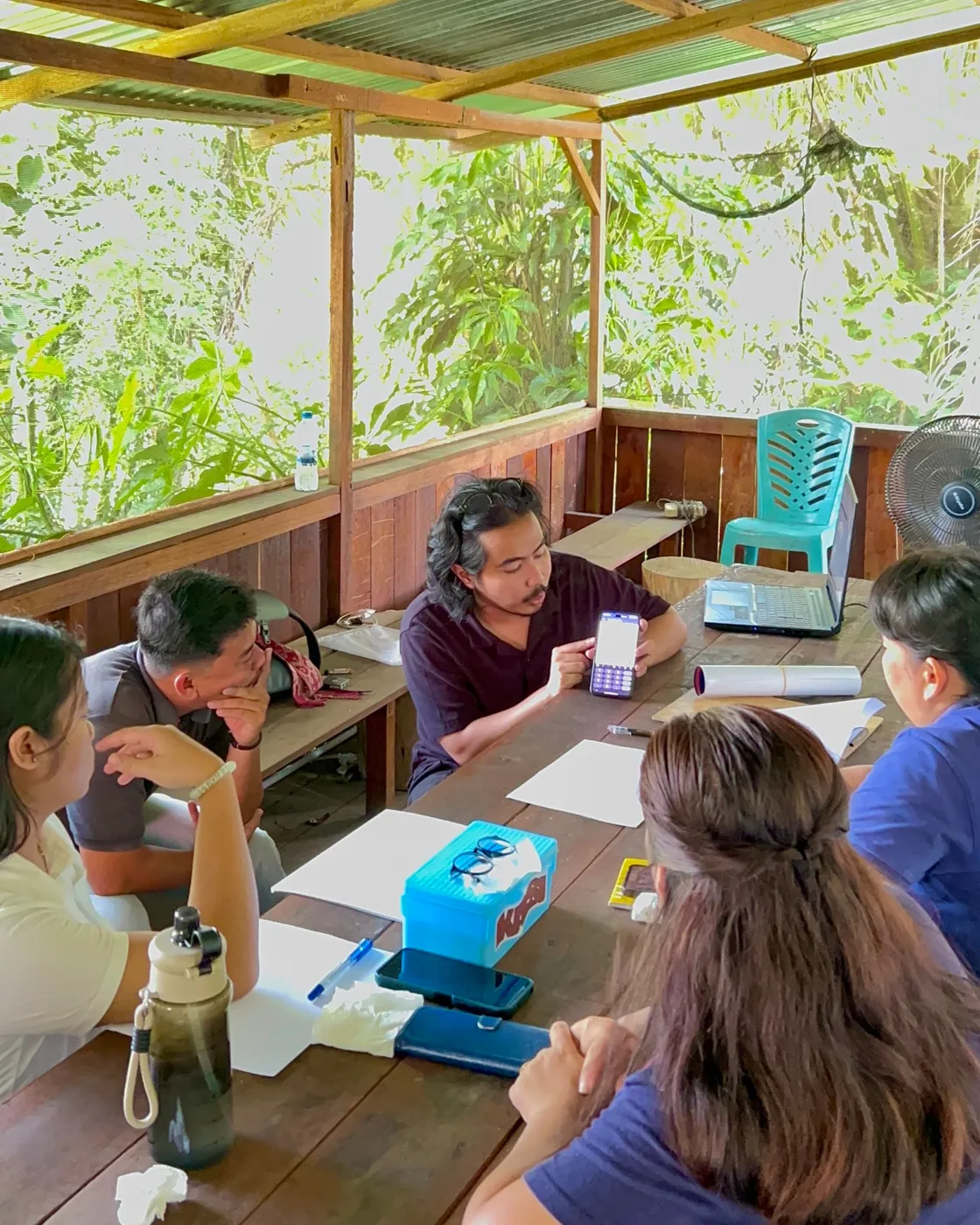
Plot boundaries are walked, ground-checked and validated on site, with GPS and polygon mapping of every plot and full offline capture that syncs automatically once back in range.
handshake
Built around the farmer, so the data holds
Every transaction is tracked and at your fingertips. Farmer profiles and plantation directories are built as you go. Trust at the farm gate is what makes the data complete.
forest
EUDR-ready evidence from day one
Legality, labour and land-use surveys are aligned with EUDR, with traceability for every transaction from farmer to collector to factory.
diversity_3
Shaped around your programme
Project-based mapping links directly to your sponsors, NGOs or buyers.
Field mapping delivered
Our field activities, by the numbers.
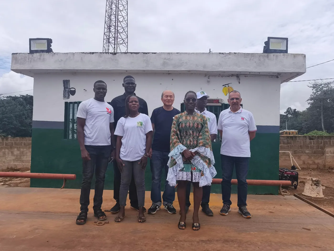
Rubber in Indonesia, Thailand, Côte d'Ivoire and Cambodia. Cocoa in Nigeria. Cashew in Côte d'Ivoire.
>30,000
farmers registered
>50,000
plots polygon-mapped
>60,000 ha
total mapped area
Indonesia
Rubber · EUDR
~25,000
farmers
~35,000
plots
~40,000 ha
area
Nigeria
Cocoa · EUDR
~3,000
farmers
~10,000
plots
~15,000 ha
area
Côte d'Ivoire
Cashew · Organic certification
~2,000
farmers
~5,000
plots
~10,000 ha
area
Next up · Q3 2026
Two rubber EUDR projects in Côte d'Ivoire: ~11,000 farmers, ~20,000 plots, ~24,000 ha.
One rubber EUDR project in Cambodia: ~6,000 plots, ~14,000 ha.
Delivery
What you receive, and what done means.
Five deliverables, what each one is, and the condition that closes it, agreed before fieldwork starts. Data ownership sits with you.
map
Every plot mapped
Every plantation captured as a GPS polygon or point.
Done when
A polygon for every farm in scope. No size threshold.
assignment
Every record signed
Farmer identity, plus legality, social and environmental data.
Done when
A survey per farm, GPS-stamped, both signatures present.
satellite_alt
Every plot screened
Screened against deforestation, protected areas and legality layers.
Done when
Every polygon screened for forest loss, protected areas and legality.
rule
Invalid records closed by you
Duplicate and overlap checks run on every polygon.
Done when
Duplicates within threshold. No open invalid record.
task_alt
Dataset endorsed
EU-IS-compatible GeoJSON, ready for DDS submission.
Done when
GeoJSON, dashboard and report, endorsed before filing.
Capture works offline and syncs back in signal, in Bahasa Indonesia, Thai, French, Khmer and English. Surveys are run in the local working language, for example French in Côte d'Ivoire.
Working together
Who does what.
What Agridence runs
- check_circleRecruit, train and deploy enumerators and supervisors.
- check_circleAlign with your processors and local buying agents.
- check_circleSocialise with farmers and communities for buy-in.
- check_circleMap every plot and capture the questionnaire on AgriTrace.
- check_circleQuality-check and screen each plot for risk.
- check_circleDeliver EUDR-ready data in the Agridence platform.
What you provide
- check_circleYour supply base: processor, agent and farmer lists.
- check_circleThe commodities, sites and scope in play.
- check_circleA local coordinator to introduce the field teams.
- check_circleSupport with permits, consent and site access.
- check_circleThe compliance target, for example EUDR.
- check_circleReview and sign-off on the delivered data.
Who it’s for
Built for the people funding and running origin programmes.
storefront
Brands, buyers & programme sponsors
Funding traceability at origin, with proof the programme delivers.
factory
Cooperatives & processors
Mapping their own supply base to keep market access.
diversity_3
NGOs & development agencies
Running landscape and livelihood programmes with credible data.
Field brochure
The First-Mile Field Programme Brochure
A practical look at running first-mile data collection: mapping smallholders, verifying origin, and turning field evidence into audit-ready records.
Download the brochure downloadFree · PDF · Takes 30 seconds
Plan a field deployment at your origin.
Speak to the team that has run mapping projects across Indonesia, Laos, the Philippines, Malaysia, Thailand, Cambodia, Nigeria and Côte d'Ivoire.