

AgriTrace in brief
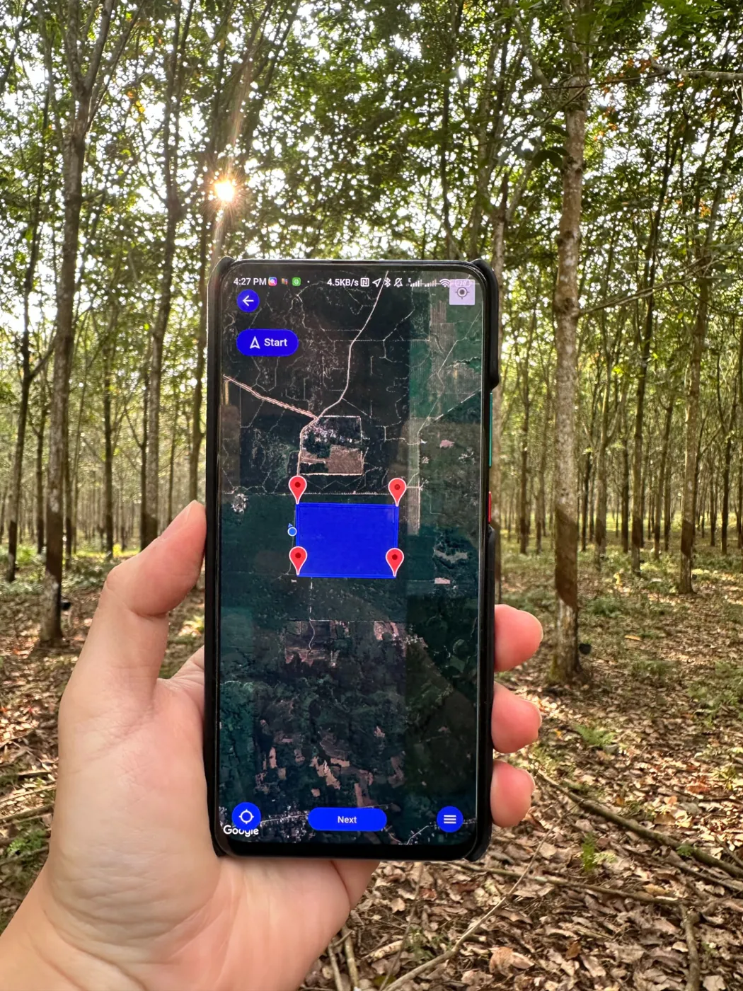
AgriTrace is the Agridence first-mile traceability app for field teams, cooperatives, dealers and processors, available on Android and iOS. It records farm plot polygons, supplier questionnaires and production, transaction, transport and receipt records, so every batch can be traced back to the plots it came from.
First-Mile Data Collection. Done Right.
Six linked data points carry the record from the plot to the factory gate. Captured online or offline, GPS-stamped, synced the moment there’s signal.
See AgriTrace in the field
Book a Demo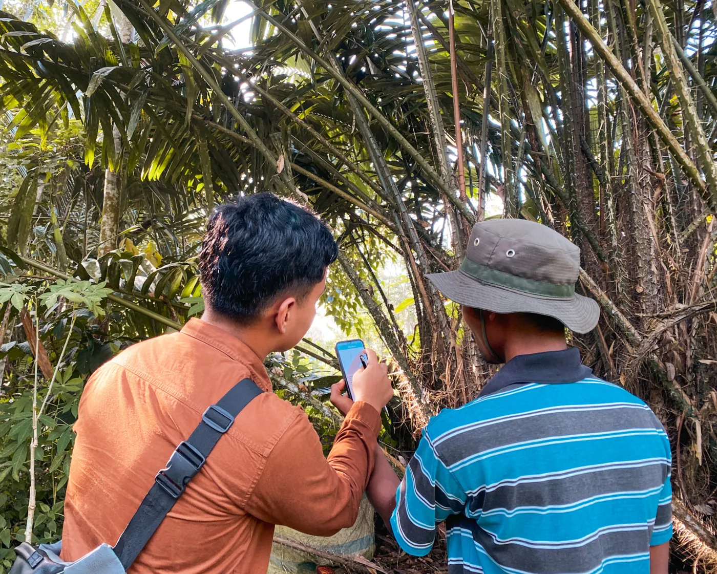
Survey answers become a legality risk rating.
Each EUDR survey response is scored against a decision logic, then every plantation is rated across five legality categories.
B. Glyphosate / Roundup
C. 2-4D
D. TMTD/ZnO (TZ)
E. Chlorpyrifos
F. Others, please specify (Q15c)
Based on survey responses, every plantation is sorted across five legality categories:
Plantations are then labelled according to the risk ratings below:
Good origin data depends on farmers trusting the people collecting it.
AgriTrace is built so they do.
When farmers trust the process, the data you get back is more complete and more accurate.
Take the audit to the source.
Inspect the same record the field team collected, on the plot where it was collected.
AgriTrace demo: see how origin evidence gets captured
A short walkthrough of AgriTrace in action, from polygon mapping and legality surveys to signed, timestamped farm-gate purchases, showing how every step becomes defensible due-diligence evidence.
Watch the demo play_arrowWhat field officers say about AgriTrace
Feedback from officers using AgriTrace on the ground.
“In terms of usability, I find AgriTrace easier and comfortable to use. There’s no real difficulty in capturing polygon points. It runs smoothly as long as the network connection is good. We can also use it offline so I’m satisfied with it.”
“What made it easy (on using AgriTrace) was that there were parts we could already manage (didn’t take long to understand how the app work), so from this experience we can understand it better going forward.”
See AgriTrace capture a plot end to end.
Book a demo and we’ll walk you through first-mile capture for your commodity.